Flooding problem in Sahuarita, Avis Acres, Nogales Highway
in unincorporated Pima County
Latest Action: Letter to Pima County Development Services /(includes records of complaints to Flood Control)
Eight major regions:
1) Delgado Road between Sahuarita Road and El Toro
2) Santa Rita Road ( Santa Rita Road south of Sahuarita Rd.)
3) Country Club Rd. at Sahuarita Road
4) Dawson Rd. between Alvernon/Irving Rd.
5) Sahuarita Highlands: New development on Santa Rita Rd.
6) Avis Acres area at Sahuarita Rd. and Wilmont.
7) Summit Area at Old Nogales Highway
8) San Pedro Estates on Nogales Highway
For the past four or so years, flooding has been occurring in the Sahuarita Heights area at heavy rain flows. The flow averages 6 in. to 1 ft. but reaches some 3 to 4 feet in some regions and is strong enough to move sheds, uproot fence posts, and move 2 foot diameter boulders into the roads.
Pima County Sheet Flood Map
Covenant that builders of new structures--homes, garages, barns, sheds, etc. have to sign
Complaints filed with Flood "Control" from 2001 to 8/11/2008 in original Sahuarita region
Comments and Handout at Board of Supervisors Hearing (Call to Public), Oct. 7, 2008
Records from Sheriff's Dept in 2008 for road closures on Sahuarita Rd.
How Flood Control obstructs public communication
Here's what Pima County Flood Control says:
1) We can't do anything, it is a "wild cat" area. [The truth is these homes were here before the term "wild cat" ever existed. It was inhabitated by people who chose to live in the country, have an acre of land and a horse for the kids.]
2) It has rained more in the past five years--that's the problem.
3) We can't do anything, that's Transportation's responsibility.
4) We can't do anything because of the Army Corps 404 permits.
5) We can't do anything because its private land.... but they excused a new development from flood control measures. See Platting docs.
Correction: They did one thing—they had the devolpers raise acres of the land to concentrate the water off the property, pushing back the overflow from an overflowing wash--you figure it out. See the Results.
We can be sure of one thing--the 83 employees in Flood Control we taxpayers are
The common threads of the four regions:
1) The flooding started to occur about 2004, when water started spilling over the washes, sending sheet-flooding through the region. It has increased since then. What happened in 2004?
2) All of the regions were already populated during the 1983 and 1993 flooding, and all the residents report none of their properties had any flooding (except on one property).
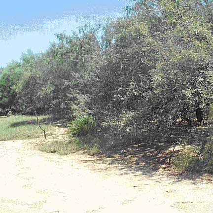
3) The washes in the region have silted up to 50% of their capacity or less. On the rare occasion that sand is taken out of the washes by the County, it is put along the banks of the wash, so that it just sweeps back in at the next rain to silt up the wash again.
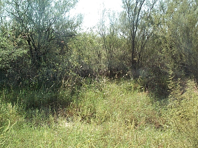
This wash behind Delgado Rd used to be so deep water covered a car in a storm event..
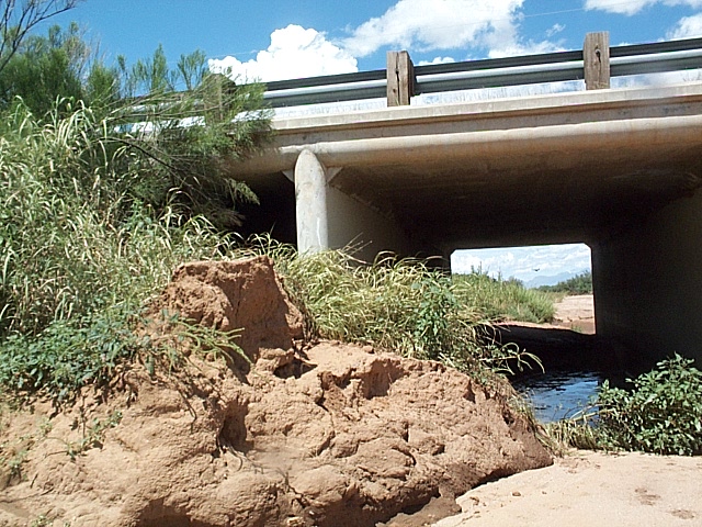
5) No one is maintaining the culverts under Sahuarita Rd., so they are partially stopped up.
6) The County puts piles of dirt along the roads near washes, which also sweeps into the wash to silt them up further.
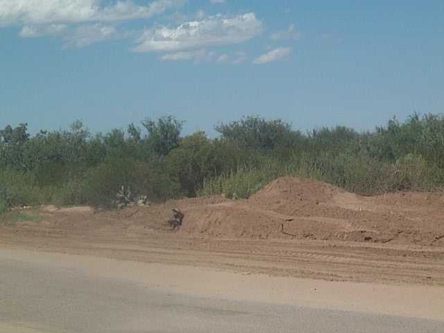
Dawson Road piles of dirt placed by the County for "flood control", which will eventually flow into the wash to silt it up.... there's dozens of such piles throughout the region.
7) The force of the flooding is strong enough to move stones of 2 feet in diameter—large enough to damage a vehicle.
8) The Pima County Flood Control department has completely ignored any complaints by the residents. Click here for typical responses from the Pima County Flood Control to residents' complaint. Note date of letters, and the flooding continues to get worse.
What does it cost the residents?
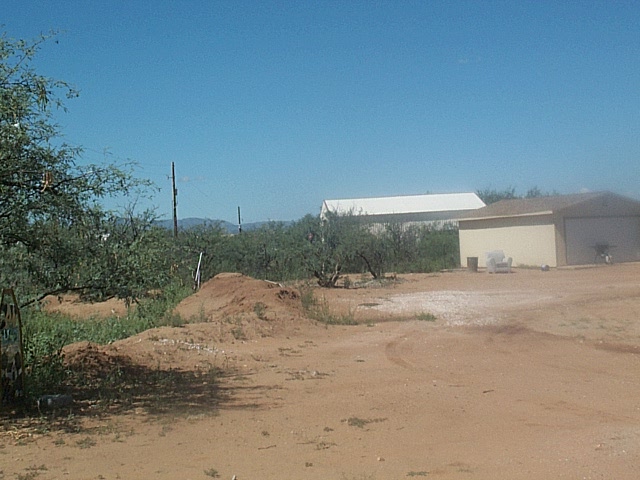
The local residents have continual expenses for loads of dirt and gravel to divert the water and recover their property. They continually try to save the water from entering their homes, but every dike one person makes can make it worse for someone else.
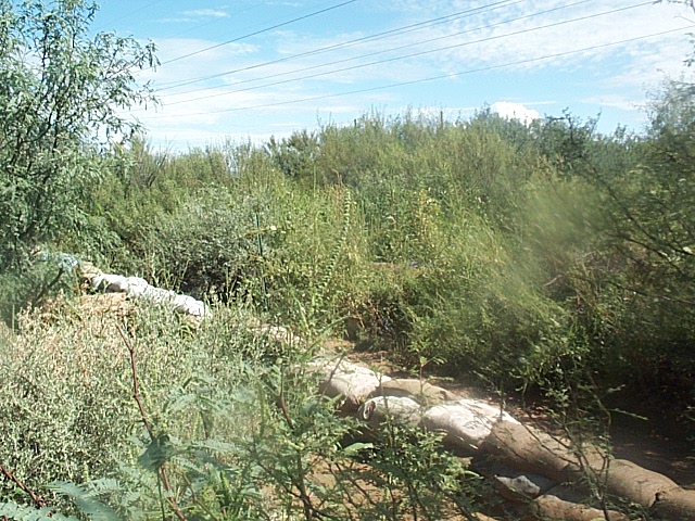
Sand bags to protect property from sheeting flood water.
Berm on private property to protect from sheet flooding.
Whose fault is it?
Who cares!! This excess water gives us an opportunity to put in some stormwater catchment basins in the region to help off-set the drawdown in the general region. Chandler, AZ has been doing using recharge basins for some twenty years with great success. See their report on the effectiveness of their projects:
www.g-a-l.info/ChandlerRecharge.doc
Photos of some of their projects: www.g-a-l.info/ChandlerRecharge.htm
This is an opportunity for all the stakeholders to get together to solve this problem with comprehensive, hydro logically-sound system. Then all the affected parties will benefit.
Stakeholders
1) Local residents (property owners and renters)
2) Sahuarita Highlands Development Group:
1) Red Point Development
2) H. R. Horton
3) Canoa Development
4) Fidelity Trust
3) Farmer’s Investment Company
4) SanRita Properties, aka Augusta Resource Mining Corp.
5) Freeport McMoran Mining Corp. (formerly Cyprus/Pima Mining Corp., then Phelps Dodge Mining Corp.)
6) State Trust Land